Welcome to the City of Hastings, Adams County, and Hastings Utilities GIS Website.
-
Land Use
View my parcels, subdivisions, lots & assessor and deeds data.
View Map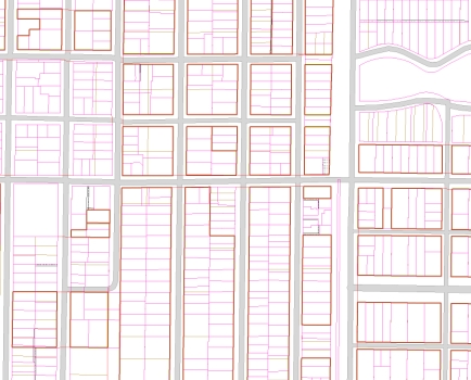
-
Infrastructure
View my street, storm sewer, water, and sanitary infrastructure.
View Map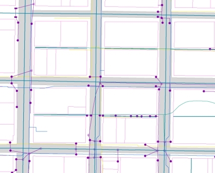
-
Natural Resource
View my floodplain, contours, wellhead protection and monitoring wells.
View Map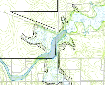
-
Quick Map
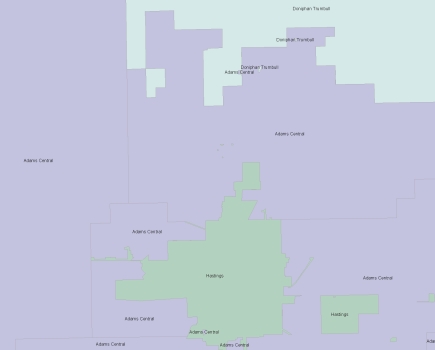
Voting Precinct
Who is my council member and where do I vote?
View Map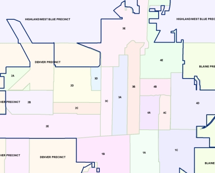
-
Quick Map
Zoning
What is my zoning?
View Map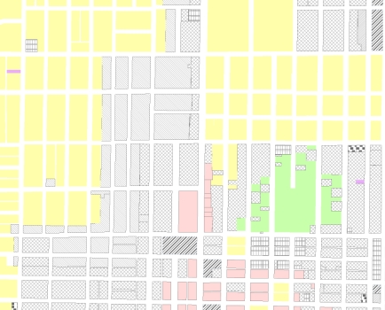
-
Quick Map
Schools
What is my school jurisdiction?
View Map